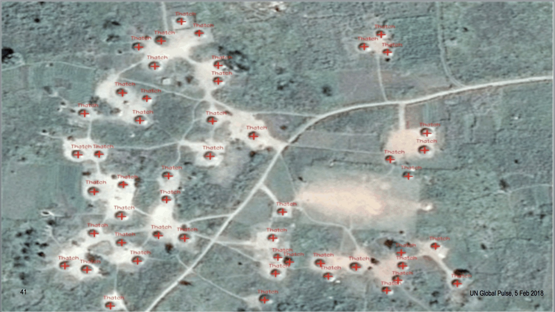
The advent of desktop Geographic Information Systems (GIS) in the 1990s has allowed social scientists to quantify and study the disparities in well-being across space with ever-higher spatial precision. Among governments and NGOs, the spread of data analysis capability has enhanced service provision and targeting as more operational ministries map out risk populations and ecosystems, and update spatial products with ever-higher frequency


